
Garmin BlueChart® g2 Vision® HD – VPC413S – Mornington I. – Hervey Bay – microSD™/SD™
Original price was: $154.99.$38.75Current price is: $38.75.

Description
BlueChart® g2 Vision® HD – VPC413S – Mornington I. – Hervey Bay – microSD™/SD™
Coverage:
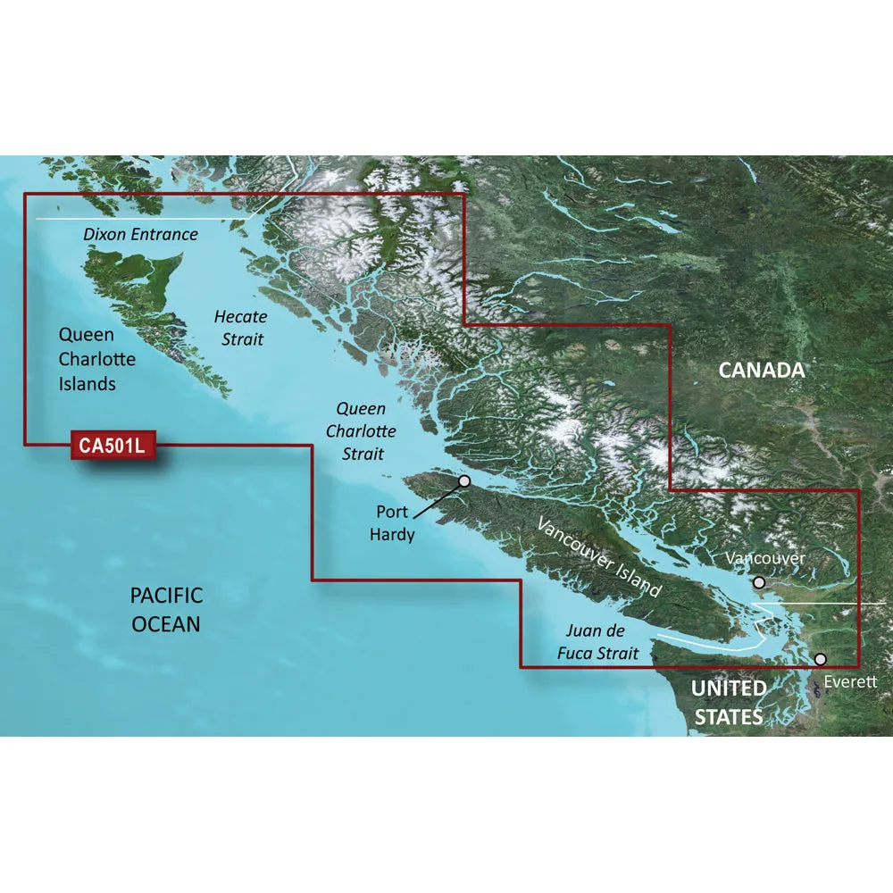
The Northeastern coast of Australia from Mornington Island to Hervey Bay. Also includes detailed coverage of Cape York, Cairns, Townsville, Mackay, and the Great Barrier Reef.
Our Premium Chart Offering
- Derived from official charts and private sources to provide navigational aids, spot soundings, depth contours, tides and currents, and detailed harbors and marinas
- Garmin Auto Guidance technology shows a suggested route to a destination¹
- Depth Range Shading for up to 10 depth ranges enables you to view your target depth at a glance
- Up to 1-foot contours provide a more accurate depiction of the bottom structure for improved fishing charts and navigation
- Shallow Water Shading feature allows for depth shading at a user-defined level to aid in navigation
- Unique 3D views like MarinerEye and FishEye provide additional perspective both above and below the water line
- High-resolution satellite imagery of ports, marinas, bridges and navigational landmarks for superior situational awareness
Auto Guidance¹
Auto Guidance technology quickly calculates a suggested route using your boat’s dimensions and a suggested path to follow.
Depth Range Shading
Displays high-resolution Depth Range Shading for up to 10 depth ranges so you can view your designated target depth.
Detailed Contours
BlueChart g2 Vision HD features 1-foot contours that provide a more accurate depiction of bottom structure for improved fishing charts and enhanced detail in swamps, canals and port plans.
MarinerEye View
Provides a 3-D representation of the ocean floor as seen from below the waterline.
FishEye View
Provides a 3-D representation of the surrounding area both above and below the waterline.
High-resolution Satellite Imagery
High-resolution satellite imagery with navigational charts overlaid gives you a realistic view of your surroundings so you can navigate with a clear moving-chart representation of your boat’s position. It’s our most realistic charting display in a chartplotter.
Aerial Photography
Crystal clear aerial photography shows exceptional detail of many ports, harbors and marinas and is ideal when entering unfamiliar ports.
WARNING: This product can expose you to chemicals which are known to the State of California to cause cancer, birth defects or other reproductive harm. For more information go to P65Warnings.ca.gov.
This product may not be returned to the original point of purchase.Please contact the manufacturer directly with any issues or concerns.
Insert the BlueChart g2 Vision SD data card into the chartplotter, and you will get a new perspective on navigation and navigation. BlueChart g2 Vision provides the same rich detailed charts as BlueChart g2 to help you make the most of your equipment. In addition, g2 Vision also has an ever-growing high-resolution satellite image database, which has the function of 3D perspective on the water, automatic navigation technology, used for real-world aerial photos and coastal roads with points of interest. A detailed introduction to Australia’s northeast coast from Mornington Island to Hervey Bay. It also includes detailed reports on Cape York, Keynes, Townsville, Mackay and the Great Barrier Reef.!!!!—-
PRODUCT ID: 30925
SKU: NVN-30925
CSKU: CWR-30925
REWRITE: 42036-garmin-bluechart-g2-vision-hd-vpc413s
MPN: 010-C0871-00
UPC: 753759070519
ASIN:
WSKU:
SSKU:
KSKU:
GSKU:
MSKU:
LSKU:
NAME: Garmin BlueChart® g2 Vision® HD – VPC413S – Mornington I. – Hervey Bay – microSD™/SD™
NAME_EX: GARMIN VPC413S MORNINGTON ISL TO HERVEY BAY G2 VISION
PTITLE: Garmin BlueChart® g2 Vision® HD – VPC413S – Mornington I. – Hervey Bay – microSD™/SD™
TYPE: Cartography | Garmin BlueChart Vision Foreign
VENDOR: Garmin
Google Category: SOFTWARE > COMPUTER SOFTWARE > GPS MAP DATA & SOFTWARE
Amazon Category:
Amazon Title:
Google Title: BlueChart g2 Vision – Mornington I.-Hervey Bay – Maps
Amazon Category:
Gtags:
| Garmin |
GSpecs: