
Furuno Central America – Vector Chart, 3D Data & Satellite Photos – Unlock Code
Original price was: $221.29.$55.32Current price is: $55.32.

Description
Central America – Vector Chart, 3D Data & Satellite Photos – Unlock Code
**SYSTEM ID REQUIRED TO RECEIVE UNLOCK CODE**
Vector Charts, 3D Data and Satellite Photos – Central America
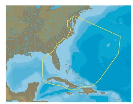
The Central America Chart Pack includes vector charts and satellite photography for Central America, Southern Mexico and the Northern Tip of South America, including Guatemala, El Salvador, East Coast Mexico, Belize, Honduras, Nicaragua, Costa Rica, and Panama. The vector charts datacore is by Navionics and then converted to the TimeZero format.
To purchase this chart pack for NavNet 3D, TZT or TZT2, you will need to provide your NavNet system ID to your local authorized Furuno dealer. The system ID can be located under the “My NavNet” menu.
WARNING: This product can expose you to chemicals which are known to the State of California to cause cancer, birth defects or other reproductive harm. For more information go to P65Warnings.ca.gov.
Central America-Vector graphics, 3D data and satellite photos-Unlock code ** System ID required to receive the unlock code ** Vector graphics, 3D data and satellite photos-Central America Central America…!!!!—-
PRODUCT ID: 66996
SKU: NVN-66996
CSKU: CWR-66996
REWRITE: 78107-furuno-central-america-vector-chart-3d
MPN: MM3-V91-1PO
UPC:
ASIN:
WSKU:
SSKU:
KSKU:
GSKU:
MSKU:
LSKU:
NAME: Furuno Central America – Vector Chart, 3D Data & Satellite Photos – Unlock Code
NAME_EX: FURUNO CENTRAL AMERICA VECTOR CHARTS3D DATA
PTITLE: Furuno Central America – Vector Chart, 3D Data & Satellite Photos – Unlock Code
TYPE: Cartography | Furuno
VENDOR: Furuno
Google Category: SOFTWARE > COMPUTER SOFTWARE > GPS MAP DATA & SOFTWARE
Amazon Category:
Amazon Title:
Google Title:
Amazon Category:
Gtags:
GSpecs: